NZ Esri User Conference 2022 Highlights
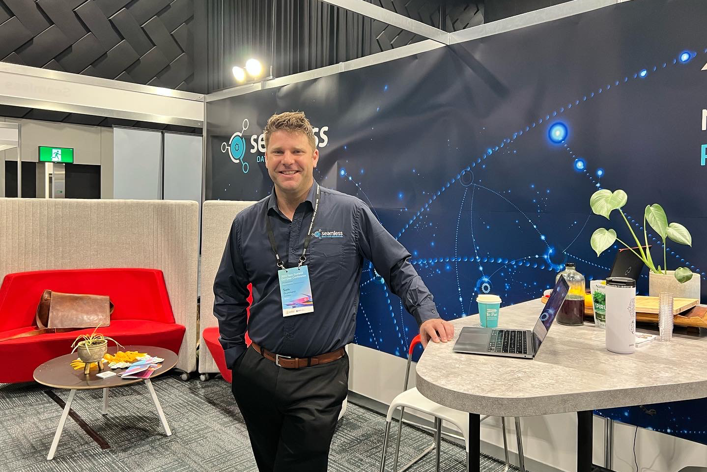
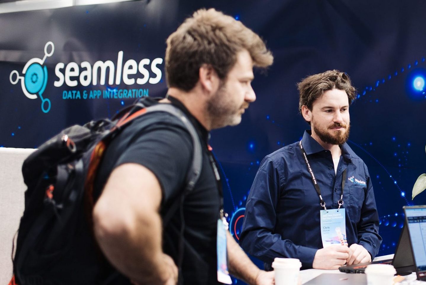
The NZ Esri User Conference is one of the high points of the geospatial community’s Calendar, which has been sorely missed over the last 3 years. In September, the entire Seamless team had the opportunity to be Gold Sponsors at the NZ Esri UC, right on our backdoor at Te Pae Christchurch Convention Centre in Otautahi.
Esri’s big vision for ArcGIS is to provide an integrated and connected system for location information. It is foundational Governments, Councils, and Utilities who rely on maps to make critical decisions about their assets, environment, and communities. At the NZEUC, we were inspired by the latest features in the ever-growing suite of Apps, maps, and visualisations. Our favourite takeaways from the conference were:
Digital transformation of field operations
Field operations is a key area for digital transformation. Field workers with digital maps on smart devices are a fast track to better decisions, higher quality data, improved efficiency, and reduced costs. Esri apps like Field Maps and Quick Capture make it easy for field workers to collect information directly into ArcGIS. With FME, information can be taken further by automating data flows to virtually any other business systems including Asset Management, ERP, Inventory, HR, and Finance.
Next generation of Apps
Now is the time to plan your migration to the next generation of web viewers. Faithful tools like Web AppBuilder has continued support however Esri is focused on bringing functional parity to ArcGIS Experience builder, which is optimised for performance, mobility, and unified 2D & 3D visualisation. For new apps, we recommend first evaluating your requirements against Experience Builder.
Foundation layers for your digital twin
The readily available layers in Esri’s living atlas keeps getting richer, with over 40 datasets added to the NZ Imagery base map this last year from NZ Councils, LINZ, and Maxar. These updates mean that you can overlay your map layers on base maps that are up to date, high resolution, and extremely fast in 2D & 3D.
We had a great time at the NZEUC catching up with Friends, colleagues, and clients, some of whom we hadn’t seen in over three years. If you want to know more about how we power ArcGIS using FME then get in touch today.
